
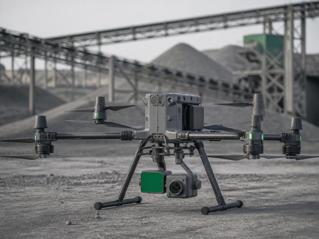
DJI Enterprise drones & payloads
Mapping, LiDAR, thermal inspection, public safety and delivery platforms — specified around the data you need to deliver, with the payloads, RTK workflow and support to back it up.
Built around the deliverable
Enterprise programs succeed or fail on data quality and repeatability. We start with the output — the point cloud, the orthomosaic, the thermal report — and work back to the aircraft, payload and workflow that produce it reliably.
- Survey-grade mapping and photogrammetry
- LiDAR capture under canopy and over corridors
- Thermal inspection of assets and networks
- Public safety, search and situational awareness
- Autonomous dock-based repeat missions
- Heavy-lift delivery and logistics
What a configured quotation covers
- Airframe & redundancy — the platform matched to endurance, payload and operating environment.
- Payload selection — LiDAR, photogrammetry, thermal or multi-sensor.
- Positioning — RTK, base station or network corrections for accuracy targets.
- Software & processing — capture-to-deliverable workflow.
- Getting started & compliance — setup, calibration, product familiarisation and organisational approvals.
- Support & maintenance — service, spares and technical escalation.
Enterprise platforms & payloads
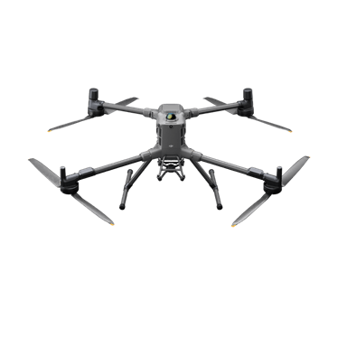
DJI Matrice 400
Heavy-lift flagship for enterprise mapping and inspection.
View details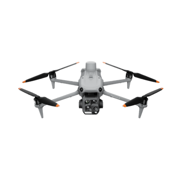
DJI Matrice 4T
Compact multi-sensor platform for inspection and public safety.
View details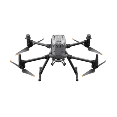
DJI Matrice 350 RTK
Proven RTK workhorse for LiDAR and photogrammetry.
View details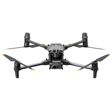
DJI Matrice 30T
Foldable multi-sensor platform for rapid deployment.
View details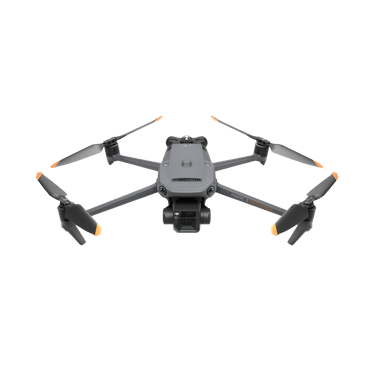
DJI Mavic 3 Enterprise Series
Compact mapping and inspection with interchangeable payloads.
View details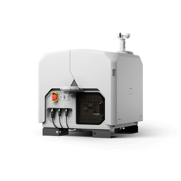
DJI Dock 3
Autonomous drone-in-a-box operations.
View details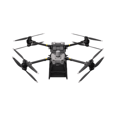
DJI FlyCart 30
Heavy-lift delivery for remote and difficult sites.
View details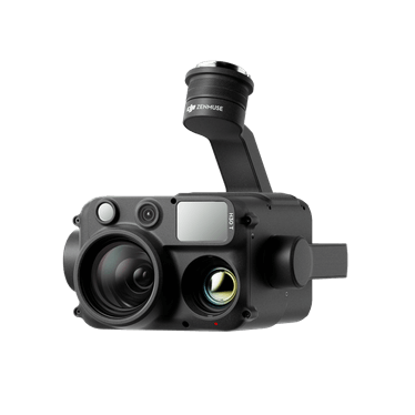
Zenmuse L2
LiDAR and RGB payload for survey-grade capture.
View detailsSpecify the right enterprise platform
Share your inspection or mapping workflow and we will scope the aircraft, payloads and support your team needs.