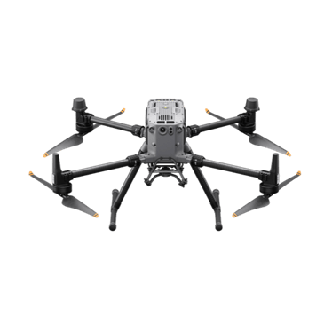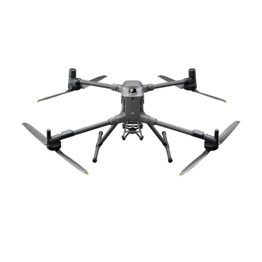
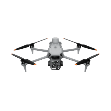
DJI Matrice 4E
Compact mapping aircraft with a mechanical-shutter wide camera and two zoom cameras.
- 20 MP 4/3 mechanical shutter
- Two 48 MP zoom cameras
- 49 min max flight
Price: On quoteAvailability: Confirm with sales
Mapping, LiDAR and inspection for surveyors, engineers, councils and asset owners.
The Matrice 4E or a Matrice with Zenmuse P1 produces orthomosaics and 3D models for design and progress tracking.
Matrice 350 RTK or Matrice 400 with Zenmuse L2 for terrain and corridor capture.
Zoom and thermal aircraft for asset checks; docks for repeat scheduled missions.

Compact mapping aircraft with a mechanical-shutter wide camera and two zoom cameras.
Proven interchangeable-payload platform for LiDAR, photogrammetry and inspection.
Long-endurance heavy-lift platform for interchangeable payloads, including LiDAR and thermal.
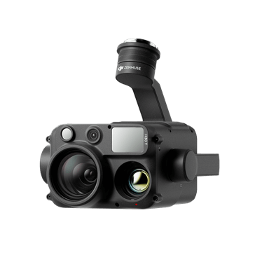
Full-frame photogrammetry payload for high-resolution mapping.
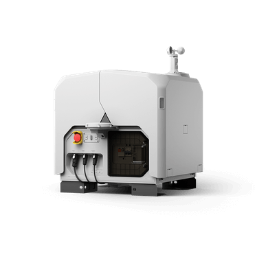
Dock-based aircraft for scheduled remote missions from a fixed site.