
Quick Summary
A drone volumetric analysis measures stockpile volume from aerial data, but the result is only as good as your preparation. Before flying, mark each pile's base edge, sort out your aircraft and sensor, plan the flight path, and wait for steady light and low wind.
- Walk the pad and mark the base edge of each pile before you fly.
- Spilled material can blur a pile's boundary, so check the edges carefully.
- Note any equipment or vehicles in the frame.
- Fly when light is steady and wind is low.
Table of Contents
- Drone Stockpile Volume Measurement: What You Need Before You Fly
- Ground Control Points for Drone Surveys: Setting Up Your Survey Site
- Checking Your Drone Survey Accuracy for Stockpiles and Choosing LiDAR or Photogrammetry
- Frequently Asked Questions
Drone Stockpile Volume Measurement: What You Need Before You Fly
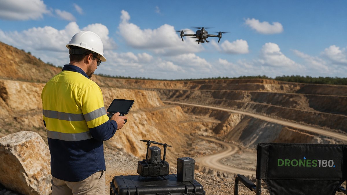
A drone can run a drone volumetric analysis of a stockpile. But the result is only as good as your preparation. Before you fly, sort out four things: the area, the aircraft and sensor, the flight plan, and the weather.
Drone Survey and Data processing of Open-Pit Mining Site with DJI Matrice 4E and Strayos
XDRON – Autonomous & Robotic Solutions
Start with a clear boundary. Walk the pad and mark the base edge of each pile. A pile with loose material spilling onto surrounding ground can make its boundary harder to define.
- Mark the base edge of each pile
- Note equipment or vehicles in the frame
- Fly when light is steady and wind is low
Before you fly, check these four areas so your drone volumetric analysis of a stockpile holds up.
| Preparation area | What to do | Note |
|---|---|---|
| Area | Walk the pad and mark the base edge of each pile | Spilled material can blur the boundary |
| Aircraft and sensor | Sort out the aircraft and sensor before flying | Result depends on preparation |
| Flight plan | Plan the flight path for the site | Covers each pile |
| Weather | Fly when light is steady | Wind should be low |
Ground Control Points for Drone Surveys: Setting Up Your Survey Site
Ground control points, or GCPs, are fixed targets with surveyed coordinates.
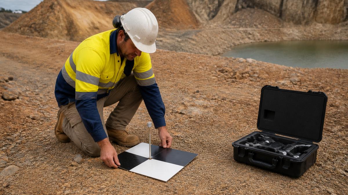
!A surveyor in a high-visibility vest kneeling beside a marked ground control target on a dusty mine site, with a drone case open on the ground nearby
Checking Your Drone Survey Accuracy for Stockpiles and Choosing LiDAR or Photogrammetry
Accuracy comes down to two choices: how you check the result, and which sensing method you use.
Photogrammetry builds a 3D model from overlapping photos (Through the magnifying glass). LiDAR fires laser pulses.
For help choosing aircraft and sensors, see our DJI Enterprise drones and payloads, or read the Zenmuse L2 LiDAR payload details. Prefer to hire it out? See contract drone services. More tips in our latest news and insights.
Frequently Asked Questions
How do drones measure stockpile volumes?
The drone flies a set pattern over the stockpile and takes overlapping photos. Software stitches these into a 3D surface model, then compares that model against a baseline of the ground before the pile was built. The difference between the two surfaces gives the volume. Ground control points placed around the site keep the model accurate in position and height, so the figures you get back can be trusted for stock reporting.
How often should mining stockpiles be surveyed?
How often you survey depends on how fast material moves in and out of the stockpile and how much your reporting needs to match the site's real stock levels. Check your site's own procedures and your reporting requirements before setting a schedule.
