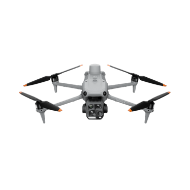
DJI Matrice 4T
Portable thermal and zoom aircraft for inspection, wildlife and night work.
- 640 × 512 thermal
- Three 48 MP visual cameras
- 49 min max flight
Price: On quoteAvailability: Confirm with sales
Explore mapping and thermal equipment for preparedness, situational awareness and recovery assessment. Match the system to your team's procedures, operating approvals and mission requirements.
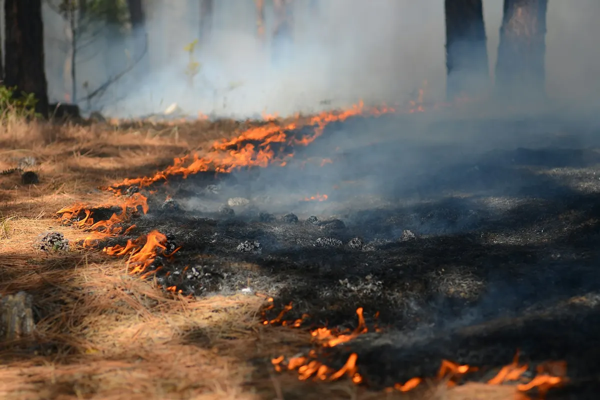 Representative image
Capture site and access information for planned fire-management activities.
Explore equipment for hotspot observation and situational awareness.
Document conditions following fire, flood or storm events when access is authorised.
Assess aircraft, power, communications and support for the team's intended work.
An authorised land-management team wants imagery following a prescribed burn. A planned drone workflow could collect visual and thermal observations within the incident arrangements and approved operating conditions. The team would use those observations to guide follow-up checks rather than treating the imagery as confirmation that the area is safe.
Options to agree in a scope, not automatic inclusions.
Portable thermal and zoom aircraft for inspection, wildlife and night work.
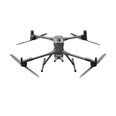
Long-endurance heavy-lift platform for interchangeable payloads, including LiDAR and thermal.
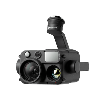
Wide, zoom, thermal and laser rangefinder in one payload.
Compact mapping aircraft with a mechanical-shutter wide camera and two zoom cameras.
Not sure which fits? Try Find My Drone or get a system recommendation.
Planned support is discussed only after scope, authorisation and capability are confirmed. This website is not an emergency dispatch channel.
Keep your drone grounded around emergency operations unless the emergency agency has given permission and all applicable operating requirements are met. Uncoordinated drones can interfere with response aircraft. CASA: flying near emergencies and wildlife
No. This page supports equipment and planned-project enquiries. It does not advertise an on-demand emergency response service.
Tell us what you manage, where you work and what you want to achieve. We'll come back to you about the equipment or service pathway that fits.
This form is for equipment and planned-project enquiries. It is not monitored as an emergency channel.