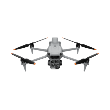
DJI Matrice 4E
Compact mapping aircraft with a mechanical-shutter wide camera and two zoom cameras.
- 20 MP 4/3 mechanical shutter
- Two 48 MP zoom cameras
- 49 min max flight
Price: On quoteAvailability: Confirm with sales
Give planning and maintenance teams a clearer view of the land and assets they manage. Explore equipment and aerial data options for councils, public agencies, land managers and their contractors.
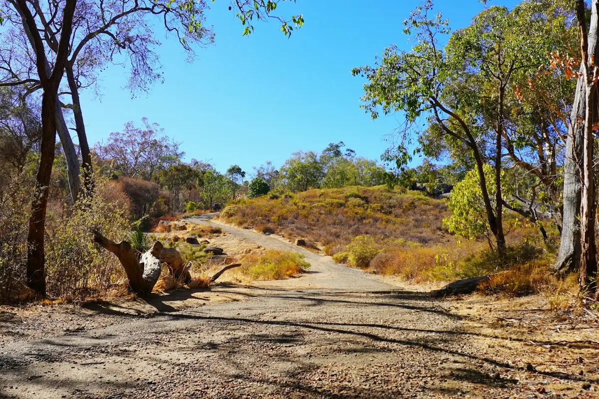 Representative image
Document reserves, facilities and management areas.
Capture imagery to support assessment by relevant specialists.
Identify locations for closer inspection or treatment.
Create dated visual records before, during and after planned work.
A regional council is preparing a reserve maintenance program. A defined aerial survey could document tracks, vegetation and visible erosion features, giving staff a common reference for site inspections and contractor briefs. Public access, privacy and flight arrangements would be planned before capture.
Options to agree in a scope, not automatic inclusions.
Compact mapping aircraft with a mechanical-shutter wide camera and two zoom cameras.
Portable thermal and zoom aircraft for inspection, wildlife and night work.
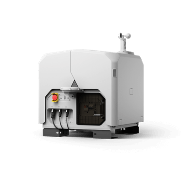
Dock-based aircraft for scheduled remote missions from a fixed site.
Not sure which fits? Try Find My Drone or get a system recommendation.
Mapping, thermal or vegetation-management work, quoted against your actual scope.
Provide the location, intended outputs, access requirements and timing. The scope can then be assessed and any exclusions or additional requirements identified.
Suitability depends on the location and proposed operation. Access, people, airspace, privacy and site requirements need assessment before a flight is agreed.
Tell us what you manage, where you work and what you want to achieve. We'll come back to you about the equipment or service pathway that fits.
Prefer the phone? Call 1300 UAV PRO (1300 828 776).