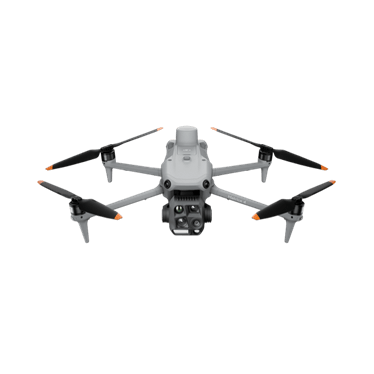
DJI Matrice 4T
Portable thermal and zoom aircraft for inspection, wildlife and night work.
- 640 × 512 thermal
- Three 48 MP visual cameras
- 49 min max flight
Price: On quoteAvailability: Confirm with sales
Explore visual, thermal and LiDAR options for asset inspection and vegetation management. Start with the inspection question, then select the aircraft, sensor and reporting workflow to suit.
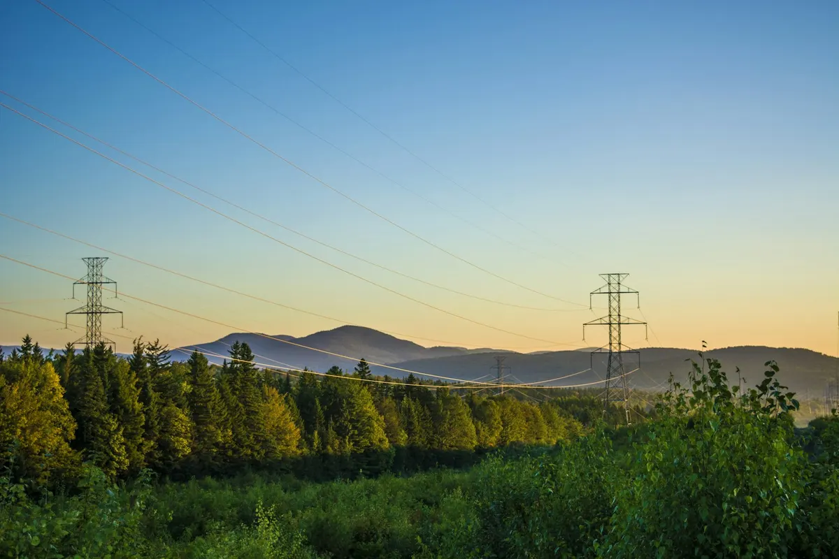 Representative image
Collect images of agreed asset features.
Record temperature patterns under suitable conditions for specialist review.
Assess LiDAR mapping around defined infrastructure areas.
Create consistent imagery to support inspection planning and follow-up.
A NSW asset manager needs current information about vegetation near a defined section of infrastructure. The team could scope a LiDAR capture with the asset owner, agree access and electrical safety requirements, and supply data for qualified assessment of the corridor. Any clearance conclusions would use the client's specified method.
Options to agree in a scope, not automatic inclusions.
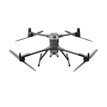
Portable thermal and zoom aircraft for inspection, wildlife and night work.
Long-endurance heavy-lift platform for interchangeable payloads, including LiDAR and thermal.
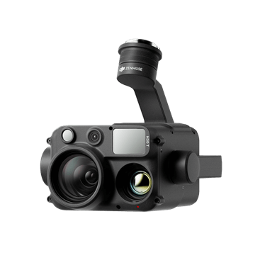
Wide, zoom, thermal and laser rangefinder in one payload.
Integrated LiDAR and RGB mapping payload.
Not sure which fits? Try Find My Drone or get a system recommendation.
Planned inspection or mapping work, assessed against available capability.
An unusual thermal pattern is a reason for further assessment. Conditions and equipment affect the image, and a qualified specialist must interpret findings for the intended purpose.
The asset owner, competent site personnel and operator must assess the proposed task and safety controls. Equipment selection alone does not establish permission or a safe operating distance.
Tell us what you manage, where you work and what you want to achieve. We'll come back to you about the equipment or service pathway that fits.
Prefer the phone? Call 1300 UAV PRO (1300 828 776).