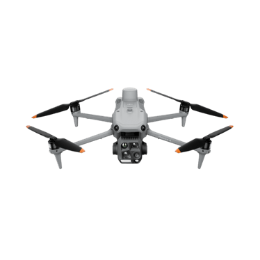
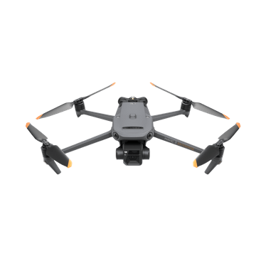
DJI Mavic 3 Multispectral
Compact crop-health and vegetation mapping with RGB and four multispectral bands.
- 4 multispectral bands
- 20 MP 4/3 RGB
- 43 min max flight
Price: On quoteAvailability: Confirm with sales
Build a repeatable picture of the landscape you manage. Explore imagery, LiDAR and thermal survey options for vegetation monitoring, restoration projects and wildlife assessment.
 Representative image
Establish a dated record of the project area.
Assess LiDAR data capture for analysis by the project team.
Compare suitably designed repeat surveys over time.
Plan targeted survey work and document areas requiring follow-up.
An environmental project manager needs consistent records of a restoration area. The team could agree survey boundaries, capture timing, coordinate reference requirements and repeat visits before collecting imagery or LiDAR. Those records could then inform the project's vegetation monitoring alongside field measurements and specialist analysis.
Options to agree in a scope, not automatic inclusions.
Compact crop-health and vegetation mapping with RGB and four multispectral bands.
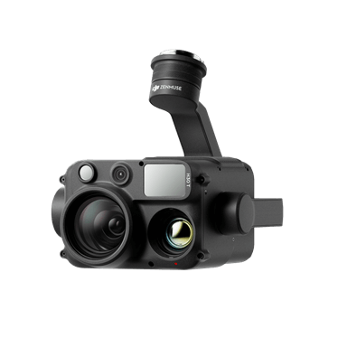
Portable thermal and zoom aircraft for inspection, wildlife and night work.
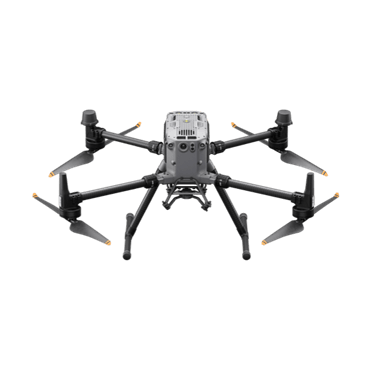
Proven interchangeable-payload platform for LiDAR, photogrammetry and inspection.
Integrated LiDAR and RGB mapping payload.
Not sure which fits? Try Find My Drone or get a system recommendation.
Data capture and monitoring scopes built around your specified methodology.
A drone survey can supply data for an agreed project workflow. It is not, by itself, certification, an audit or confirmation of credit eligibility. Agree the required method and evidence with the responsible specialists.
Discuss resolution, reference system, season, vegetation conditions and processing before capture. Consistent methods make comparisons more useful.
Tell us what you manage, where you work and what you want to achieve. We'll come back to you about the equipment or service pathway that fits.
Prefer the phone? Call 1300 UAV PRO (1300 828 776).