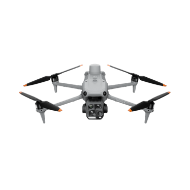
DJI Matrice 4E
Compact mapping aircraft with a mechanical-shutter wide camera and two zoom cameras.
- 20 MP 4/3 mechanical shutter
- Two 48 MP zoom cameras
- 49 min max flight
Price: On quoteAvailability: Confirm with sales
Explore aerial workflows for surface operations, stockpile measurement and site documentation. Match the equipment and capture plan to your site's access controls, measurement requirements and reporting process.
 Representative image
Scope aerial capture and volume calculations for agreed materials and surfaces.
Document pits, haul routes and operational areas.
Compare suitable repeat datasets.
Record visible landform and vegetation changes for further assessment.
A regional Australian quarry wants a consistent monthly record of its stockpiles. The site and survey teams could define the measurement method, base surfaces, control and operating windows before selecting the drone workflow. An agreed report would state how volumes were calculated and any limitations affecting comparison.
Options to agree in a scope, not automatic inclusions.
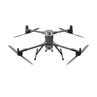
Compact mapping aircraft with a mechanical-shutter wide camera and two zoom cameras.
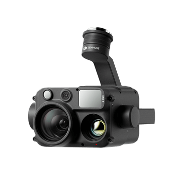
Long-endurance heavy-lift platform for interchangeable payloads, including LiDAR and thermal.
Integrated LiDAR and RGB mapping payload.
Not sure which fits? Try Find My Drone or get a system recommendation.
Mapping or LiDAR work assessed against your site's technical requirements.
Agree the required tolerance, method and independent checks with the responsible site professionals first. The intended use determines the validation required.
That requires site-specific planning. Plant movement, exclusion zones, airspace and the site's approval process must be addressed.
Tell us what you manage, where you work and what you want to achieve. We'll come back to you about the equipment or service pathway that fits.
Prefer the phone? Call 1300 UAV PRO (1300 828 776).