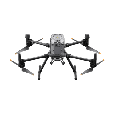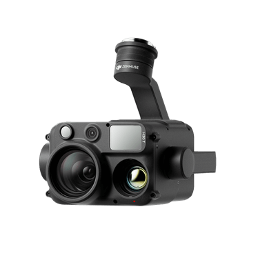
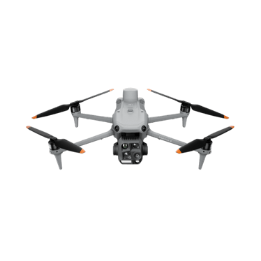
DJI Matrice 4E
Compact mapping aircraft with a mechanical-shutter wide camera and two zoom cameras.
- 20 MP 4/3 mechanical shutter
- Two 48 MP zoom cameras
- 49 min max flight
Price: On quoteAvailability: Confirm with sales
Give your project team a current aerial reference from planning through to progress reporting. Explore systems and capture workflows for site imagery, terrain information and repeat project records.
 Representative image
Capture imagery and agreed terrain outputs.
Compare repeat views and dated project records.
Scope surface comparisons and volume calculations.
Share agreed maps and imagery with the people doing the work.
A civil contractor in Victoria needs regular visual updates for an earthworks project. The team could establish survey control, define a capture area and agree outputs with the project surveyor. Repeat captures could then support progress discussions and scoped volume comparisons, with checks appropriate to the intended use.
Options to agree in a scope, not automatic inclusions.
Compact mapping aircraft with a mechanical-shutter wide camera and two zoom cameras.
Proven interchangeable-payload platform for LiDAR, photogrammetry and inspection.
Integrated LiDAR and RGB mapping payload.
Full-frame photogrammetry payload for high-resolution mapping.
Not sure which fits? Try Find My Drone or get a system recommendation.
Mapping and LiDAR capture, with deliverables agreed with your surveyor or engineer.
No. Do not treat general aerial mapping as a cadastral or boundary determination. Engage an appropriately qualified survey professional for that purpose.
Accuracy is project-specific. Requirements, control, checkpoints, sensor, processing and acceptance criteria are agreed before quoting.
Tell us what you manage, where you work and what you want to achieve. We'll come back to you about the equipment or service pathway that fits.
Prefer the phone? Call 1300 UAV PRO (1300 828 776).