Last Updated: November 8, 2026
Quick Summary
To choose a drone for infrastructure inspection in Australia, start with the asset and the defect you need to see, then match the sensor to that task before comparing aircraft. Confirm your CASA category and Remote Operator Certificate requirements, and check wind, heat and range against the sites you actually fly.
- Write down the asset type, the defect and the deliverable before comparing any aircraft.
- Insist on radiometric thermal so the report can state a temperature, not just show a colour.
- Treat published flight time as a ceiling, not an average, and buy for the windiest day.
- The same drone can fall under different CASA rules depending on where and how you fly it.
- See the aircraft fly your kind of asset before you buy and ask for a configured quote.
Table of Contents
- Start With the Asset, Not the Drone
- Pick the Right Drone Inspection Camera for the Task
- Weigh Up Commercial Drone Range and Flight Time
- When You Need Drone Thermal Imaging Inspection
- Know the Australian Drone Regulations for Commercial Operations
- Compare the Main Inspection Drone Options Side by Side
- Request Pricing and a Demonstration Before You Commit
- Frequently Asked Questions
Start With the Asset, Not the Drone
A common mistake in infrastructure inspection is buying the aircraft first and working out what to point it at later. It should be the other way around. How to choose a drone for infrastructure inspection in Australia starts with one question: what are you inspecting, and what does the person signing off the report actually need to see? A 40-metre concrete silo, a solar farm spread across paddocks, and a transmission tower are three completely different jobs. Each demands a different camera, a different flight profile, and a different set of approvals.
The pattern is consistent: the operators who get clean, usable asset condition data are the ones who matched the platform to the task before they spent a dollar.
Matching the platform to the job
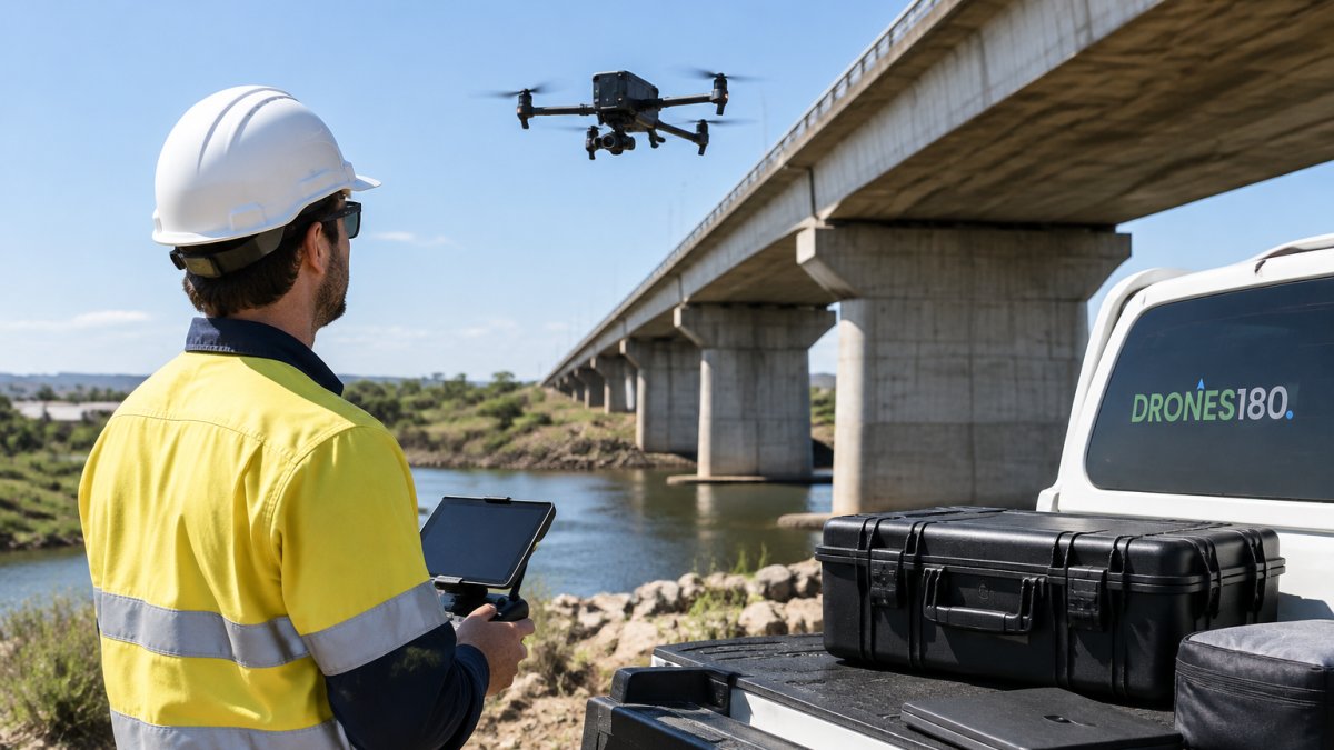
Think in three tiers. Small, tight assets like roof plant, gutters and poles suit a compact airframe with a good zoom lens. Long linear assets like bridges, pipelines and powerlines reward range and flight time. Large-area assets like solar farms and mine sites need mapping capability and a payload that can cover ground efficiently.
Write down the asset type, the defect you're hunting, and the deliverable before you compare any aircraft. That one page will rule out half the market for you.
Pick the Right Drone Inspection Camera for the Task
The drone inspection camera matters more than the airframe. A brilliant aircraft with the wrong sensor produces data nobody can use. Match the sensor to the defect you need to see.
- RGB wide camera: general visual imagery, site overviews and progress records.
- Zoom camera: hairline cracks, bolt condition, corrosion on a bridge inspection or cell tower where you cannot get close.
- Thermal camera: hot joints, insulation faults and moisture. Radiometric thermal is the one to insist on, because it records temperature per pixel so you can measure, not just look.
- LiDAR and photogrammetry payloads: mapping, 3D modeling and terrain data for drone surveying work.
A common mistake is buying a thermal sensor without radiometric output, then discovering the inspection report can't back up a temperature claim. Check the spec sheet for that word specifically.
Weigh Up Commercial Drone Range and Flight Time
Commercial drone range and flight time decide how much of a shift you actually get. Published flight time is measured in ideal conditions with a fresh battery and no wind, so treat it as a ceiling, not an average. Real flight time drops when you're fighting wind, carrying a heavy payload, or hovering for long inspection passes.
Range is the other half of the equation. On a long bridge inspection or a pipeline run, transmission range and signal stability matter more than raw speed. Wind resistance and obstacle avoidance also earn their keep around critical structures, where a gust or a stray cable can end the day badly.
Our rule of thumb: buy for the windiest, hottest day you'll realistically fly, not the brochure day.
When You Need Drone Thermal Imaging Inspection
Drone thermal imaging inspection finds what the eye can't. Loose electrical connections, failing insulation, water ingress and overheating components all show up as temperature differences before they become failures. For utility infrastructure, solar farm condition monitoring and building inspection work, thermal imagery turns a guess into evidence.
Use it when the asset carries current, holds heat, or hides moisture. Skip it when you're purely documenting visible defects, because a good zoom camera will do that job.
For a deeper look at what thermal inspection delivers in practice, read our guide on the 7 benefits of thermal drone asset inspection.
Know the Australian Drone Regulations for Commercial Operations
Australian drone regulations for commercial operations sit with the Civil Aviation Safety Authority (CASA), and the rules are built around risk rather than the aircraft itself. The single biggest thing to understand is that the same drone can be flown under different rules depending on where you fly it, how close you get to people, and what you are doing. Get that straight and most of the confusion disappears.
Start with the operation, not the aircraft
CASA divides commercial drone work into broad categories based on risk. The lowest-risk work, typically small drones, away from people, below 120 metres, in visual line of sight, and not over populous areas, sits in the excluded category and needs the least paperwork. As you move closer to people, beyond visual line of sight, over populous areas, or carry heavier payloads, you move into progressively more regulated categories that require a Remote Operator Certificate (ReOC) and documented procedures.
For infrastructure inspection, the practical questions are:
- How close will the drone get to people? Bridges, towers and solar farms are often near roads, workers or the public. Proximity rules change what you can do without extra approvals.
- Will you fly beyond visual line of sight? Long pipeline, powerline and rail corridors often push past what you can see, which triggers additional requirements.
- Is the area populous? Standard operating rules restrict flight over populous areas unless you hold the right approvals.
- Are you near a controlled aerodrome or restricted airspace? Many infrastructure assets sit close to airports, defence land or other restricted zones, and you need to check before you fly.
What you actually need before the first commercial job
At minimum, a commercial operation generally needs a Remote Operator Certificate held by the business, and the person at the controls needs the appropriate remote pilot accreditation. You also need documented procedures covering site survey, hazard identification, emergency response and maintenance records. CASA publishes the current categories and requirements, and they are updated from time to time, so check the CASA website for the version that applies when you start operating rather than relying on second-hand summaries.
Build a flight planning and risk assessment habit into every job. Document your site survey, your hazards, and your emergency plan. That paperwork is what separates a professional operation from a hobbyist with a good camera, and it is the first thing an insurer or a client will ask for.
Watch out: flying commercially without the correct certificate or outside your approved category is not a paperwork slip, it can void your insurance and end a contract. Our practical CASA guide to drone rules for business walks through what applies to your operation type.
Compare the Main Inspection Drone Options Side by Side
Comparing platforms on paper is where most buyers get unstuck, because every spec sheet looks good in isolation. The fix is to compare aircraft against your actual inspection requirements rather than against each other in the abstract. Use the decision framework below to narrow the field before you look at a single product page.
A practical decision framework: asset, task, sensor, platform
Work through these four questions in order. Each answer rules out options before the next question.
1. What is the asset and how is it laid out?
- Compact, vertical assets, silos, poles, roof plant, tower sections, suit a small airframe that can get close and hold position in tight space.
- Linear assets, bridges, pipelines, powerlines, rail, reward range, flight time and stable signal over distance.
- Large-area assets, solar farms, mine sites, stockpiles, need mapping capability and a payload that covers ground efficiently per flight.
2. What defect are you hunting, and what does the sign-off need to see?
- Visible surface defects, cracks, corrosion, bolt condition, vegetation encroachment, need a good zoom camera with enough resolution to resolve the defect at your working distance.
- Heat, moisture or electrical faults, hot joints, failing insulation, water ingress, need a radiometric thermal sensor so the report can state a temperature, not just show a colour.
- Geometry, terrain and volumetric data, stockpiles, cut and fill, structural deformation, need LiDAR or photogrammetry, and the accuracy you require decides which.
3. Which sensor does that task actually require?
| Inspection task | Sensor that fits | What to check on the spec sheet |
|---|---|---|
| General visual and progress records | RGB wide camera | Resolution and field of view |
| Hairline cracks, bolts, corrosion at distance | Zoom camera | Optical zoom range and sensor resolution |
| Hot joints, insulation faults, moisture | Radiometric thermal | Temperature measurement per pixel, not just imaging |
| Mapping, 3D models, terrain | LiDAR or photogrammetry | Accuracy specification and coverage per flight |
4. What site conditions will you actually fly in?
Wind rating, heat tolerance, dust and IP rating, and battery performance in hot or coastal air all decide whether a platform is usable on your sites. A drone that performs well on a mild day in a paddock may struggle on a coastal site with corrosion and gusty afternoons.
Line the shortlist up on the factors that decide the job
Once the framework has narrowed the field, compare the remaining platforms on the things that actually change outcomes:
| Decision factor | What to check | Best for |
|---|---|---|
| Asset size | Coverage per flight | Large sites, solar farms |
| Defect type | Zoom, thermal or LiDAR payload | Bridges, towers, utilities |
| Site conditions | Wind resistance, IP rating | Coastal and remote sites |
| Data needs | Radiometric thermal, mapping accuracy | Inspection reports, 3D modeling |
| Crew | Single-operator setup | Small teams, multiple properties |
DRONES180 supplies and supports DJI Enterprise aircraft and Zenmuse payloads for mapping, LiDAR and thermal inspection, with pricing on application. You can compare up to three drones and payloads side by side using the same sourced specifications as each product page, or browse the full DJI Enterprise drones and payloads range to see the actual platforms.
Request Pricing and a Demonstration Before You Commit
The last step is the one that saves the most money: see the aircraft fly your kind of asset before you buy. A demonstration on a bridge, a rooftop or a solar array tells you more in an hour than a week of spec sheets. Ask about setup, calibration and product familiarisation, because a drone that sits in the shed because nobody knows how to configure it is money wasted.
Pricing depends on the platform, payload and support package you choose, so get a configured quote rather than a headline figure. You can request commercial pricing and we'll build the aircraft, batteries, payloads and support around your operation.
Choosing a drone for infrastructure inspection comes down to matching the asset, the sensor and the regulations to a platform you can actually operate. DRONES180 is built by commercial operators, holds CASA ReOC 9681 and ARN 1303301, and backs every sale with setup, calibration and ongoing technical support. Get started with DRONES180 and put a platform in the air that delivers data you can trust.
Frequently Asked Questions
What features should I look for in a drone for infrastructure inspection?
Focus on the camera payload first, because that decides the quality of your evidence. A good inspection drone needs a high-resolution zoom camera, stable hover, obstacle avoidance and enough flight time to cover the asset in one pass. Wind resistance matters on exposed sites, and a clear data workflow for photos and reports saves hours later. Match the aircraft to the asset: a compact multirotor suits close visual work on buildings and towers, while larger platforms handle long linear assets like bridges and utility lines.
How much flight time do I need for a drone inspection?
It depends on the asset size and how close you need to get. A small building or single tower can be covered in one short flight, while a long bridge or a stretch of utility infrastructure often needs several flights with battery changes. Plan for real-world flight time, not the headline figure, because wind, payload weight and hovering all use more battery. Carrying spare batteries and planning your flight path before you launch keeps commercial drone range and flight time working in your favour.
Do I need a thermal camera for infrastructure inspections?
Not always, but it earns its place on certain jobs. Thermal imaging shows heat differences that a standard camera misses, which helps spot moisture ingress, insulation faults and overheating electrical components. For solar farms and utility assets, radiometric thermal gives you temperature data you can measure, not just a picture. If your inspections are mostly visual condition checks on buildings and bridges, a high-resolution zoom camera may be enough to start with.
What Australian aviation rules apply to commercial drone inspections?
Commercial drone operations sit under CASA rules, and the main requirement is holding the right operator accreditation and remote pilot qualifications for the work you do. You also need to plan each flight, assess risks and keep the aircraft within the operating limits for your category. Insurance is a practical must for commercial work. Getting this right before you buy saves headaches later, and a specialist supplier can walk you through what applies to your operation.
